Following the recent spate of wildfires in California, Google has announced that it will spend $13 million as early as next year to improve satellite imagery to help track and detect wildfires.
FireSat, a constellation of more than 50 satellites, will be able to detect fires as small as the size of a classroom — about 16 feet by 16 feet — with the first satellites scheduled to launch in early 2025. Fire officials currently rely on satellite imagery to detect wildfires, but only if they grow to be the size of a football field, or larger than an acre.
“We realized that if we could combine satellites with machine learning and artificial intelligence, we had the perfect platform to generate real-time operational information about fires,” Christopher Van Arsdale, who leads Google Research’s climate and energy practice and is chair of the Earth Fire Alliance, said in a video announcement.
The effort is being led by the Earth Fire Alliance, a nonprofit organization founded in May to create FireSat and develop the wildfire dataset with funding from Google and Amazon.
Van Arsdale said satellite imagery currently can mistake clouds and chimneys for fires. The Google team used machine learning to develop cameras that optimized the fire detection technology and tested it in controlled fire areas.
The constellation will be able to provide firefighters with up-to-date satellite imagery every 20 minutes so they can put out fires before they become too large and destructive.
“In addition to supporting emergency response efforts, FireSat data will be used to create a global historical record of fire spread, helping Google and scientists better model and understand wildfire behavior and spread,” the company said. Google said the project is part of the company’s efforts to help communities cope with the effects of climate change.
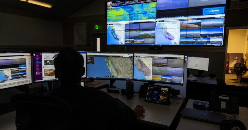
California officials are already moving to use AI to better track wildfires: The California Department of Forestry and Fire Protection has partnered with the University of California, San Diego to monitor towers and mountaintops across the state for smoke and other anomalies and send alerts to Cal Fire.
Jason Forshofer, a research mechanical engineer with the U.S. Forest Service, said the FireSat project will also help gather data to better train firefighters on how to fight wildfires and understand how changing conditions affect them.
“We’re going to be able to teach firefighters how dry conditions, wind, changes in fuel types affect fires, because we’ve seen a lot of firefighters lose their lives in fires because they couldn’t predict what the fire was going to do,” he said.
Southern California continues to experience an extremely active wildfire season, forcing thousands of people to evacuate and destroying dozens of buildings.


